Wildfire
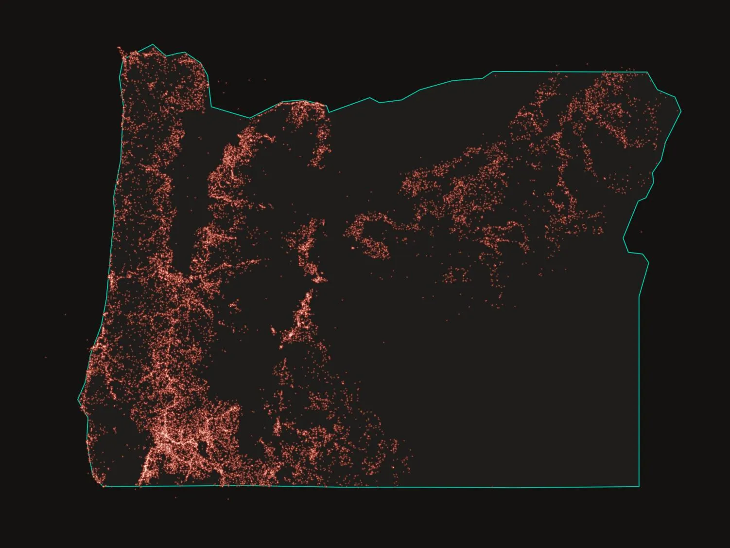
How the Oregon fire maps failed
Three seasons of drone surveys show where official perimeters diverge from the burned ground beneath them.
Archive
Wildfire
Three seasons of drone surveys show where official perimeters diverge from the burned ground beneath them.
Surveillance
Four quantifiable fronts — internet shutdowns, the spyware trade, data localization, and cloud concentration — and what a decade of numbers actually shows about who controls the network.
Wildfire
Twenty-six years of ignition records, burned-area perimeters, and drought indices frame a season that begins with a record-low snowpack and a strengthening El Niño.
Wildfire
Building a prototype that fuses satellite detections, incident reports, perimeters, and fire weather — and being honest about every seam in the fusion.